
Find Out Which Indigenous Lands You Live On With This Interactive Map Covering The Whole World
Jan Bartek - AncientPages.com - Using an interactive map, you can find out which Indigenous land you live on. The map covers the whole world and was deliberately developed to inform and educate people about the history and sacredness of lands. By doing so, one of the goals is to preserve the history of Indigenous communities.
The map is the work of Native Land Digital, a Canadian not-for-profit organization led by Indigenous people.

A screenshot from the digital map. Image credit: Native Land Digital
"Native Land Digital strives to create and foster conversations about the history of colonialism, Indigenous ways of knowing, and settler-Indigenous relations, through educational resources such as our map and Territory Acknowledgement Guide.
We strive to go beyond old ways of talking about Indigenous people and to develop a platform where Indigenous communities can represent themselves and their histories on their own terms. In doing so, Native Land Digital creates spaces where non-Indigenous people can be invited and challenged to learn more about the lands they inhabit, the history of those lands, and how to actively be part of a better future going forward together.
Land is something sacred to all of us, whether we consciously appreciate it or not — it is the space upon which we play, live, eat, find love, and experience life. The land is ever-changing and ever-shifting, giving us — and other creatures and beings on the earth — an infinite number of gifts and lessons.
We aim to improve the relationship of people, Indigenous and non-Indigenous, with the land around them and with the real history and sacredness of that land. This involves acknowledging and righting the wrongs of history, and also involves a personal journey through the importance of connecting with the earth, its creatures, and its teachings.
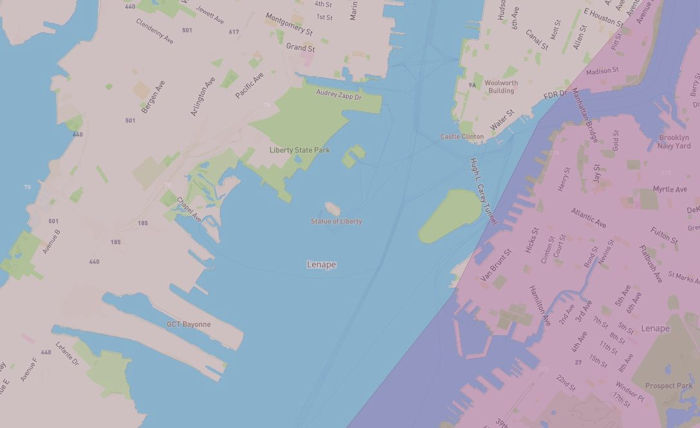
The map shows that the Statue of Liberty was built on Lenape land. Image credit: Native Land Digital
Thus, while we make a strong effort to teach about colonialism and to bring forth Indigenous narratives, we also strive to integrate what is sometimes called an “Indigenous way of knowing” when it comes to the importance and sacredness of land in our daily lives. We hope to inspire people to gain a better understanding of themselves, their ancestors, and the world they live in, so that we can all move forward into a better future," Native Land Digital explains in its mission statement.
See also: A Unique Native American Map Everyone Should See
Readers interested in discovering whose Indigenous land they live can download a mobile app for Apple and Android. The map allows visitors to enter street addresses or ZIP codes in the search bar “to discover whose traditional territory their home was built on.”
The map is a huge project and obviously, therefore, still a work in progress, and it's being updated regularly.
Written by Jan Bartek - AncientPages.com Staff Writer
More From Ancient Pages
-
 On This Day In History: Joan Of Arc Enters Orleans, The City Besieged By The English – On Apr 29, 1429
-
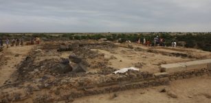
 Huge Ptolemaic/Roman Funerary Structure Unearthed In Egypt’s Fayoum
-
 Luxor’s Heritage In Focus: Southern Chapels Of The Akh Menu Temple – Restored
-
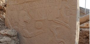
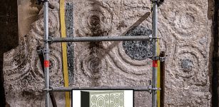
 Mysterious Skull Cult At Göbekli Tepe – Ancestor Worship Or Trophies Of Dead Enemies?
-
 2,500-Year-Old ‘Dragon Bed’ Restored By Chinese Archaeologists
-
 Disbelief In Human Evolution Is Linked To Prejudice And Racism – Scientists Say
-
 Ancient Egypt: The Eldest Sons Traditionally Held Significant Power And Authority – New Study
-
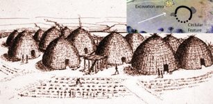 Large Earthwork At Wichita Site In Kansas – Is It Long-Lost Native American City Of Etzanoa?
-
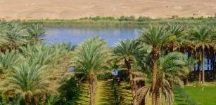
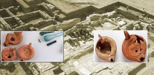
 Evidence Of Neolithic Bird Hunting In Upper Mesopotamia
-
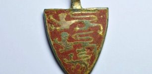 Priceless 800-Year-Old Treasure Featuring Three Golden Lions Unearthed
-
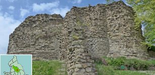 Ancient Town Pontefract, England Reveals Some Of Its Secrets
-
 African Kingdom Of Axum – Ancient Ruins Of Early Churches Unearthed
-
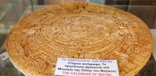 On This Day In History: Mesoamerican Long Count Calendar Begins – On August 11, 3114 B.C
-
 Graffiti Reveals Crusaders’ Beautiful Altar In The Church Of The Holy Sepulchre
-
 New Study Challenges The Beginning Of Civilization
-
 19,000 Ancient Artifacts Unearthed At Calthorpe Gardens, England
-
 Ancient Aqueduct System Discovered In Boroujerd, Lorestan
-
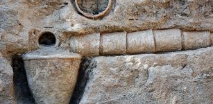
 Advanced Heating System Discovered In Ruins Of Metropolis ‘City Of Mother Goddess’
-
 Unique Study Of Skeletal Remains Reveals Grave Health Of Australian Pioneer Settlers
-
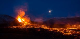 Unexpected Discovery – Medieval Monks Recorded Mysterious Volcanic Eruptions