
Unlocking The Secrets Of Lost Prehistoric Land Hidden Beneath The Sea
AncientPages.com -Dr Martin Bates from the University of Wales Trinity Saint David will take deep sea core samples to find the DNA of Doggerland, where humans lived in Doggerland from around 10,000 BC until it was flooded at the end of the last ice age around 7,500 years ago.
Bates will investigate an area off the coast of Norfolk known as Doggerland that was gradually flooded as the ice sheets melted.
During the last Ice Age it was part of a dry basin which linked Britain to mainland Europe.
The project will bring together techniques of digital underwater mapping, carbon dating and DNA analysis to create a three dimensional computer model of the landscape and the people who would have lived there, reports BBC.

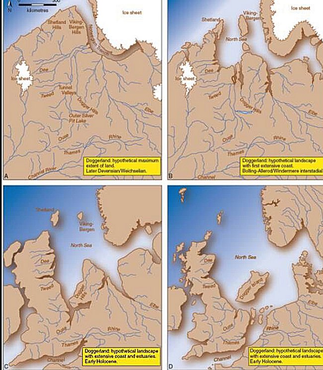
Archaeologists will work together to digitally re-construct a prehistoric country which now lies beneath the North Sea
Credits: University of Wales Trinity Saint David
Dr Bates said: "We're looking at a period between 15,000 years ago at the end of the Palaeolithic period - where the climate was much colder and people were hunting large reindeer - up to the beginning of the Mesolithic period around 10,000 years ago when the climate was much more like it is today and the final hunter-gatherers moved to hunting forest animals," Dr Bates said.
The approximate sea level rise in the North Sea following the last glaciation period. Credits: University of Bradford
"Over an average 40-year life expectancy individuals would have noticed very little change in the landscape as the ice melted, but within that gradual process there would have been more sudden events such as flash floods and tsunamis.

Archaeologists using box coring techniques as part of the search for Doggerland. Photo credits: University of Bradford
"To say Doggerland was abandoned puts too much of a negative spin on it. There would certainly have been areas they were forced to abandon, but they were mobile people who adapted quickly to the new coastline, and learnt to exploit the shell fish and marine resources."
The idea of a lost land roughly the size of Ireland was first mooted during the late 19th Century. However it was during surveying for the North Sea oil and gas industry that its full extent became apparent.
Dr Bates's team will drill up to six metres deep to remove cores from the seabed for analysis.
"The thing which is new about this project is that we'll be able to use DNA to learn not just about the people who lived there, but also the plants and animals they survived on, and during which periods they moved around the area.
"The seabed is like a timeline, the deeper you drill the further back in time you go, so we'll not only be able to create a physical map, but also a sense of how it changed over time."
Initial findings are expected next year, with the final digital map of Doggerland taking about five years to complete.
AncientPages.com
References:
University of Wales Trinity Saint David
More From Ancient Pages
-
 Fossils, Fires And Focus On Early Human Activity In Southeast Asia Jungles
-
 Lacandon People’s Last Stronghold – Lost Maya City Of Sak-Bahlan Found In The Mexican Jungle
-
 The ‘Chinese Pyramids’ And The Pole Star
-
 Intricate And Complex History Of Aqueduct System In Ancient Arles
-
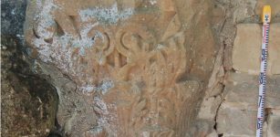
 A Half-A Million-Year-Old Well-Preserved Elephant Tusk Unearthed In Israel
-
 Gate of Zeus Temple Is A New Discovery In Western Turkey
-
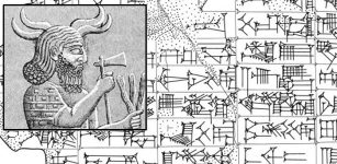 Unique And Intriguing Myth Of Storm God Iškur’s Captivity In The Netherworld Recorded On Sumerian Tablet From Nippur
-
 Archaeologists Examined Ancient Houses To Learn About History Of Inequality
-
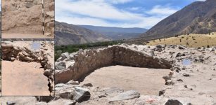 1,200-Year-Old Wari Temple Discovered In Peru
-
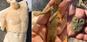 Magnificent 2 Meters Tall Marble Apollo Statue And Other Artifacts Found In San Casciano dei Bagni, Italy
-
 On This Day In History: SS City of Glasgow Leaves Liverpool And Is Never Seen Again – On March 1, 1854
-
 Unexpected Discovery Of Viking Trading Place In Norway Re-Writes History
-
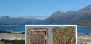
 Large Previously Unknown Roman City Discovered At The Foot Of The Pyrenees
-
 Gold Earring Found In Ruins Of Ancient Roman Colony Deultum In Bulgaria
-
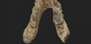 7.2-Million-Year-Old Pre-Human Remains Suggest Our First Ancestor Came From Europe Not Africa
-
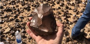 1.5-Million-Year-Old Hand Axes And Hundreds Of Ancient Artifacts Found In The Iraqi Desert
-
 Huge Maya Stone Panel With 123 Glyphs Found Near Nohoch Muul Pyramid
-
 Scientists Argue Over The Mysterious Void Discovered Inside The Great Pyramid Of Giza
-
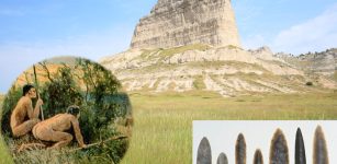 Evidence Humans Walked The Great Plains 18,000 Years Ago May Have Been Found – Archaeologists Say
-
 On This Day In History: Joan Of Arc Enters Orleans, The City Besieged By The English – On Apr 29, 1429