
Tikal Of Maya: Sophisticated Culture That Experienced Humble Start, Golden Age, Wars And Decline
A. Sutherland - AncientPages.com - Tikal was the Maya's religious, ceremonial, and military city-state, with a long and fascinating history recorded in the city's ruins, artifacts, and plenty of stelae.
Tikal's name is probably derived from the Yucatec Maya term ti ak'al, meaning "at the waterhole."
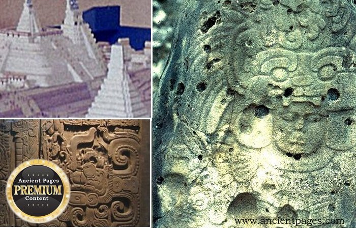
The city succeeded in its economy, military affairs, and religious importance. Located in the tropical forests of northern Guatemala, the city flourished between the years 200 and c.850 AD.
Tikal's geographical location undoubtedly contributed to the city's greatness.

This is a preview of our premium article available only to members of Ancient Pages.
Become a member to read more - Click here
If you are already a member and have logged in to your account, you can access the article here

See also:
Ancient Mystery Of The Maya ‘Star War’ Glyph And Its Connection To Venus
More From Ancient Pages
-
 Mysterious Judaculla Rock And The Slant-Eyed Giant Of The Cherokee
-
 Vainamoinen: Kalevala’s Sage, Sorcerer, Adventurer Was Born Already An Old Man
-
 How Did The Early Rapa Nui People Put Huge Hats On Giant Statues Of Easter Island?
-
 Is There An Ancient Secret Connection Between The Statue Of Liberty And The Anunnaki Goddess Inanna?
-
 Kaupang – Flourishing Viking Trade Hub And Transit Port For North Sea Trade
-
 Unusual Time Slips Reported By Multiple People In A Bustling City
-
 Michabo (Michabou) – Algonquins’ Great Spirit With Power Over The Earth
-
 Unexplained Encounters With A Mysterious Being In South Dakota Reported – Why Is This Happening?
-
 Ancient Mystery Of A Lost Polar Civilization That Vanished Without A Trace
-
 Your Destiny Is Engraved And Stored – Sacred Ancient Sources Reveal – Part 1
-
 Powerful Thunderbird Sent By The Gods To Protect Humans From Evil In Native American Legends
-
 One Of The Most Mysterious And Foreboding Places In New Jersey – Do You Dare To Visit At Night?
-
 Mysterious Biblical Celestial City And Its Connection To The North Star – The Arrival – Part 2
-
 Thousands Of Sacred ‘Images’ With Unknown Signs Hidden In A Monastery Could Be World’s Oldest Alphabet
-
 Susanoo-no-Mikoto – Shinto God Of The Sea And Storms Was Banished From Heaven
-
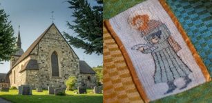 Saint Botvid – Viking Who Was Killed By A Slave He Granted Freedom
-
 Basajaun: Giant Blacksmith, ‘Lord Of The Woods’ Was Reluctant To Share Knowledge With Humans
-
 Beautiful Legend Of La Befana – Witch Who Delivers Gifts To Children In Italy On Epiphany – Twelve Days After Christmas
-
 Mystery Of The Hidden Wooden Hieroglyphic Tablets And The Unknown White Bearded Men – The Civilization That Died Twice – Part 2
-
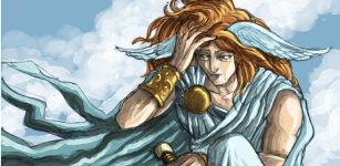 Hypnos: God Of Sleep Who Owns Much Of Our Lives In Greek Mythology