
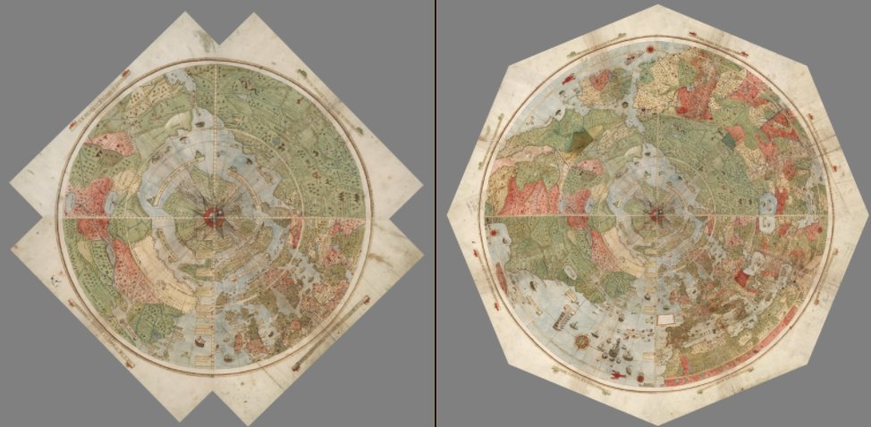
Unique Ancient Map Depicting The Earth As Seen From Space Restored Digitally
Ellen Lloyd - AncientPages.com - In 1587, Urbano Monte (1544-1613), a little-known cartographer, created an amazing, hand-drawn, 10 feet by 10 feet map.
Not only does the map depict the Earth as seen from space when directly looking down at the North Pole, but it’s also filled with incredible images of foreign locations and astonishing mythological creatures such as, for example Siberian unicorns, ship-attacking mermen, and terrifying giant birds.

Credit: David Rumsey
Amazing mythological creatures have always fascinated people, and now we have a chance to view them through the eyes of our ancestors.
This unique world atlas has now been restored and digitally stitched together. Cartographer Monte who was very interested in geography was from a wealthy family in Milan, Italy.
In 1585, he met with a Japanese delegation, and scientists think the map he created is the result of his meeting and stories he heard about Japan. The world atlas contains numerous names within Japan, which don't appear on other Western maps created at the time.

Credit: David Rumsey
Collector David Rumsey bought the ancient atlas and donated it to the David Rumsey Map Center at Stanford University, which he founded in 2016.

Credit: David Rumsey
Monte’s map has never been properly studied because studied it's been hidden for centuries.
Monte created his map 18 years after Gerardus Mercator, the best-known mapmaker of all time, made the map that is used today in most classrooms and smartphone apps.
Credit: David Rumsey
Mercator’s great contribution to cartography is that he changed its nature with the help of his artistic enhancements and forever altered ocean navigation with his projection method, which was the most influential invention of early cartography.
Monte on the other hand wanted to show the circular nature of the Earth. According to Rumsey, Monte’s work is much more than just a map. “It's a whole scientific instrument.
Monte’s amazing map has been digitally restored, and you can view all the individual sheets here.
Written by Ellen Lloyd – AncientPages.com
More From Ancient Pages
-
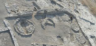
 Ancient Celtic Necropolis With Magnificent Swords And Artifacts But No Human Remains Discovered
-
 Enigma Of Skull From Petralona Cave In Greece Is Solved And Changes The Human Evolution’s History
-
 Mystery Of Pharaoh Shoshenq III’s Sarcophagus Deepens: Unknown Ancient Egyptian Inscriptions And 225 Royal Ushabti Figurines Discovered In Tanis
-
 Viking Ship Found With Unexpected Goods For Unclear Purpose Puzzles Scientists
-
 How Was The Mysterious Menga Dolmen Built By Neolithic People? New Scientific Theory Presented
-
 On This Day In History: Terrible Day In Moscow Engulfed By Fire – On June 21, 1547
-
 Secrets Of Egyptian Painters Revealed By Chemistry
-
 Can You Solve The Mystery Of The Nessglyph? Archaeologists Ask
-
 Olive Trees Were First Domesticated 7,000 Years Ago In The Jordan Valley
-
 Why Were These People Buried In A Remote, Unmarked Grave In New Hampshire In The Mid-1800s?
-
 On This Day In History: Ramesses II Became Pharaoh Of Ancient Egypt – On May 31, 1279 BC
-
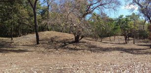 Controversial Sand Mounds In Australia Are 6,000 Years Old Man-Made Burial Mounds – Radar Scans Reveal
-
 Huge 40-Meter Long 16th Century Tunnel For Looting Was Exposed Inside Tower Tomb
-
 What Are The Unusual Giant Spherical Stones Discovered In Eastern Türkiye?
-
 Beautiful Gold ‘Lynx’ Earrings Discovered In The Ruins Of The Ancient Lost City Of Ani Go On Display In 2023
-
 How Human Ancestors Used Fire – New Methods Give Answers
-
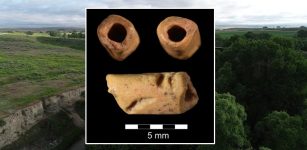 Oldest Bead In America Discovered At La Prele Mammoth Site, Wyoming
-
 Reconstrucion Of The 19-Meter-Long Gjellestad Viking Ship In Progress
-
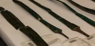 Seven Bronze Age Swords And Large Hoard Of Slavic Coins Found In Germany
-
 Hyksos: 15th Dynasty Rulers Of Ancient Egypt, Were An Internal Takeover